
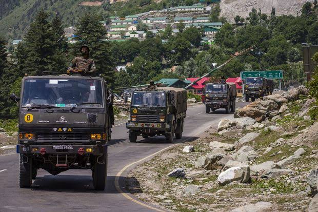
The Chinese soldiers' two-km withdrawal as part of the disengagement procedure in Ladakh has been backed up by high resolution satellite images from the bend of the Galwan river as it crosses the Line of Actual Control and flows into territory held by India. The disengagement process had started after Sunday's Special Representative-level talks between National security Advisor Ajit Doval and Chinese foreign minister Wang Yi. Now, both Chinese and India troops are withdrawing by 2 km from three spots in Ladakh - Galwan Valley, Hot Springs and Gogra - leaving a buffer zone in between.
Sources said the Chinese are now firmly on their end of the Line of Actual Control - the de-facto border between India and China.
The earlier photo, obtained on June 28, showed Chinese structures on both sides of the Line of Actual Control. The images showed possible defensive Chinese positions at the site and several structures that could be shelters for the soldiers built along the rock-face leading up the LAC.
The spot is near Patrol Point 14, where Indian and Chinse troops had fought a pitched battle on June 15, using clubs, iron rods and stones. Twenty Indian soldiers were killed in action. Senior officers in the Indian Army believe the Chinese suffered approximately 45 casualties, including a Colonel, who was killed in the fighting.
After Sunday's talks, New Delhi said that the two sides have agreed to "take guidance from the consensus of leaders" and "not allow differences to become disputes". They also agreed that "both sides should complete the ongoing disengagement process along the LAC expeditiously," the statement added.
Leave a comment
Your email address will not be published. Required fields are marked *