
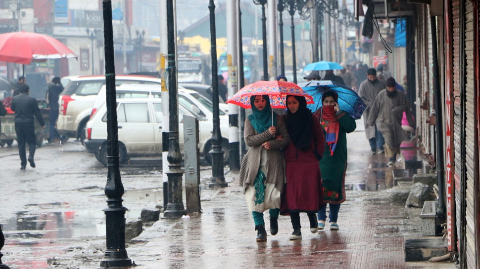
Due to western disturbance persisting as a cyclonic circulation over Afghanistan and its neighborhood, Jammu and Kashmir and Himachal Pradesh are likely to receive heavy rains on Friday, said India Meteorological Department (IMD).
"The Western Disturbance as a cyclonic circulation over Afghanistan and neighborhood extending between 3.1 and 4.5 km above mean sea level persists. The associated trough in mid & upper tropospheric westerlies with its axis at 5.8 km above mean sea level roughly along Long. 62Eto the north of Lat. 20N also persists.
Under its influence, fairly widespread to wide spread rain/snow is likely over Jammu and Kashmir and scattered to fairly widespreadrain/snow over Himachal Pradesh along with isolated heavy precipitation duringthe next 24 hours," predicted the weather forecast agency in its All India Weather Warning Bulletin today.In Delhi, shallow fog will engulf the region throughout the day with the minimum and maximum temperatures hovering around 15degrees Celsius and 27 degrees Celsius. The relative humidity in the area wouldbe around 65 per cent.
However, in Mumbai, the sky will generally be clear with the minimum and maximum temperatures around 22 degrees Celsius and 34 degrees Celsius.
Thunderstorm accompanied by lightning is very likely at isolated places over Jammu and Kashmir, Himachal Pradesh, West Rajasthan andTamil Nadu, Puducherry, and Karaikal.
Leave a comment
Your email address will not be published. Required fields are marked *