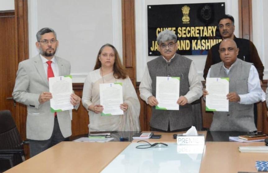
Chief Secretary, Atal Dulloo today launched the Land Bank layer on the PM Gati Shakti (PMGS) portal in presence of Commissioner Secretary, Forests; Principal Chief Conservator of Forests (PCCF); Secretary, Information Technology and other Heads of Departments of the Forest Department.
The Deputy Commissioners of all districts participated in the programme through video conferencing from their respective offices.
This pioneering initiative marks the first such exercise in the UT, wherein land parcels exclusively defined as ‘State Land’ were jointly surveyed by the Forest and Revenue Departments. Only those parcels verified to be free from all encumbrances have been mapped and integrated into the PM Gati Shakti portal, ensuring accuracy and reliability in land identification for developmental purposes.
Terming the initiative as a highly useful and forward-looking exercise, the Chief Secretary said that the availability of clearly identified and geo-tagged land on a single digital platform would significantly smoothen and expedite the development process across the districts. He urged the Deputy Commissioners to take proactive measures to safeguard these identified patches from any encroachment and misuse.
The Chief Secretary further directed the Remote Sensing Wing of the Forest Department to institutionalize a mechanism for continuous and regular monitoring of these land parcels. He emphasized that any change in occupancy status should be immediately detected and acted upon to maintain the integrity of the land bank.
He also asked for capacity-building sessions to be organized with district administrations to ensure comprehensive understanding and effective utilisation of the system on the PMGS portal for varied administrative and planning purposes. Additionally, he impressed upon the DCs to identify and add any left-out ‘State Land’ parcels, making the portal a one-stop solution for meeting land requirements for key developmental projects.
Speaking on the occasion, Commissioner Secretary, Forests, Sheetal Nanda highlighted that the Forest Department was tasked with GIS mapping of identified land parcels in close coordination with the Revenue Department to ensure precision and efficiency.
She informed that a joint ground-truthing exercise was conducted by officers of both departments to validate the suitability of land and confirm that all selected parcels were free from encumbrances before being included in the land bank.
Elaborating on the details of the land bank, PCCF Suresh Kumar Gupta informed that an initial scrutiny of 668 land parcels, covering an area of 6,221.30 hectares, was conducted to assess any overlap with forest lands including GairMumkinJangal, Jhar, Berune line forests, etc. Following rigorous verification and ground-truthing, 462 land parcels measuring 2,406 hectares were found encumbrance-free and suitable for the creation of critical government infrastructure, he added.
Providing the district-wise breakup, he stated that the parcels uploaded on the portal includes 10 from Anantnagtotaling an area of12.43 hactares of land, Baramulla 7 parcels (74.44 ha), Budgam 15 (28.99 ha), Doda44 (332.52 ha), Ganderbal26 (30.45 ha), Jammu3 (4.55 ha), Kathua 154 (750.47 ha), Kishtwar 45 (513.90 ha), Kulgam10 (17.44 ha), Kupwara15 (74.24 ha), Poonch60 (135.35 ha), Pulwama 1 (4.10 ha), Rajouri 12 (55 ha), Ramban 16 (56 ha), Reasi 20 (150 ha), Samba 5 (12.85 ha), Shopian 1 (2.02 ha) and Udhampur 18 parcels with 152.08 hactares of land stands markedand added to the portal.
The meeting was also briefed on the systematic, multi-departmental process adopted for creation of this comprehensive digital inventory. It was divulged that initially the Divisional Commissioners compiled information on various categories of revenue lands by seeking inputs from all Deputy Commissioners. This was followed by joint verification on the ground by Forest and Revenue officials to confirm feasibility and ensure that the lands were free from any legal or physical encumbrances.
Subsequently, KML files of the finalized land parcels were prepared and submitted to the Department of Environment and Remote Sensing, which completed the digitization process as per prescribed protocols. The validated data was then uploaded on the PM Gati Shakti portal, integrating it into the national framework for coordinated and data-driven infrastructure planning.
The launch of the Land Bank Layer is expected to significantly enhance evidence-based decision-making, inter-departmental coordination and efficient utilization of state land for development projects across Jammu and Kashmir.