
The Meteorological department Srinagar has said that Jammu and Kashmir is set to receive light to heavy rainfall and snowfall as fresh western disturbance is approaching.
The disturbances are expected to cause widespread precipitation across the Union Territory.
The weather is expected to remain mostly dry today with no significant rainfall predicted. However, light rain is anticipated on February 18. By February 19, a more widespread spell of rain is likely, with moderate rainfall forecasted for several districts.
On February 20, the intensity is expected to increase, with light to moderate rainfall over most parts of Jammu and Kashmir, and some areas predicted to receive heavy rain or snow. The forecast indicates that weather conditions will improve on February 21, with dry conditions expected across the region.
In the Kashmir Valley plains, rain is expected initially, though a sharp drop in temperatures could lead to snowfall especially in scattered higher reach areas if heavy precipitation persists. Temperatures are predicted to remain between 15 and 18°C on February 19 before falling further below to 7°C on February 20.
As per the forecast, the Jammu region is expected to record higher rainfall than the Kashmir Valley with Ramban, Kishtwar, and Doda districts in the Chenab Valley likely to see moderate to heavy rainfall.
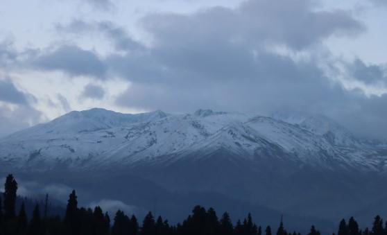
The Pir Panjal range is expected to receive heavy snowfall, particularly in popular destinations such as Gulmarg, Sinthan Top, Peer Ki Gali, and areas along the Mughal Road.
With relatively higher temperatures, lightning and thundershowers are likely in the Jammu region. Weather conditions are expected to improve from February 21 onwards after the anticipated wet spell.


Leave a comment
Your email address will not be published. Required fields are marked *